Tuesday 20 August 2024
Clevedon Survey Walk 5
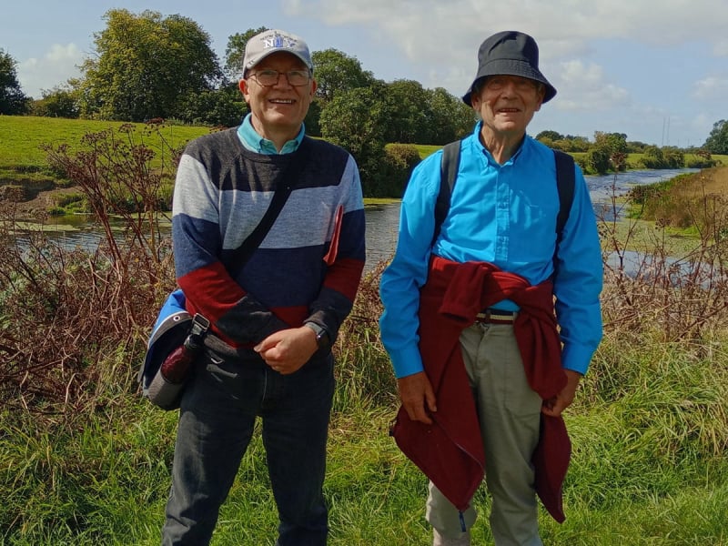
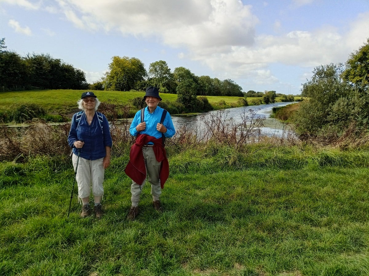
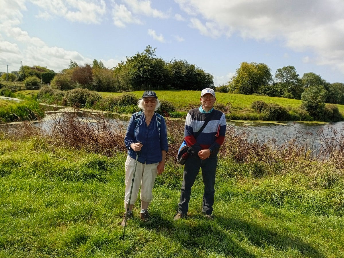
Three members of the Footpaths Group ventured out on this Survey Walk, checking if the footpaths and associated features on the Definitive Map were passable, under good repair, signed and did not present a danger to the public.
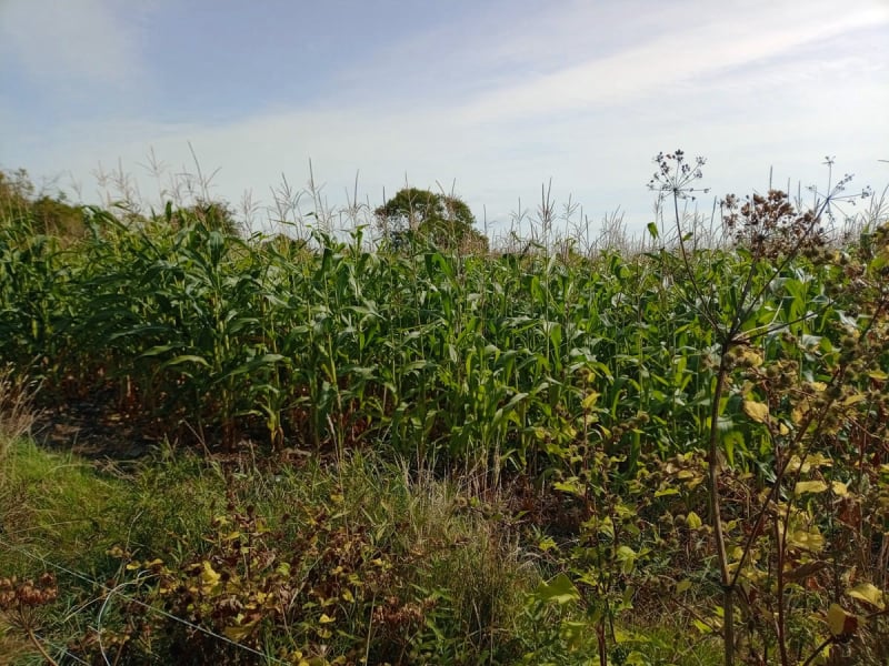
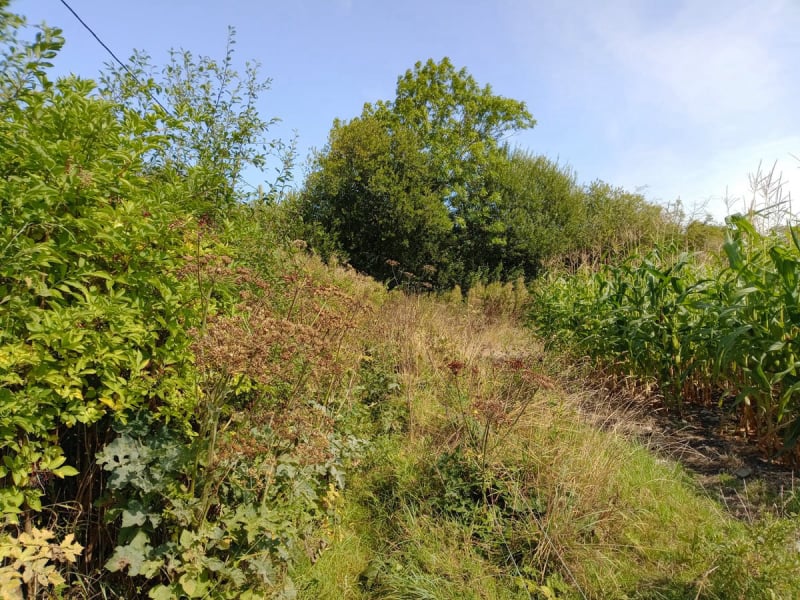
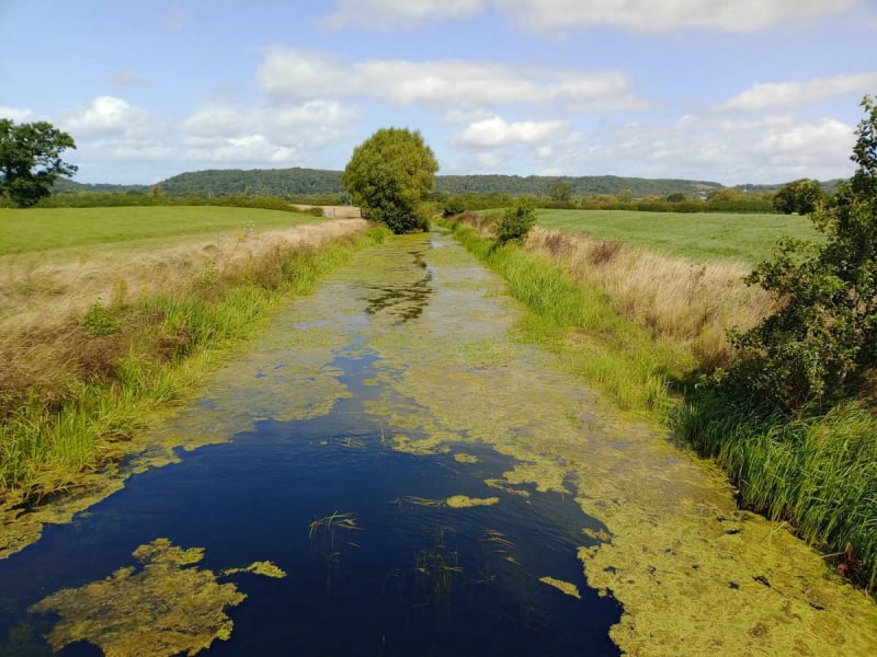
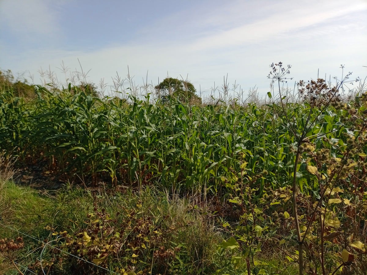
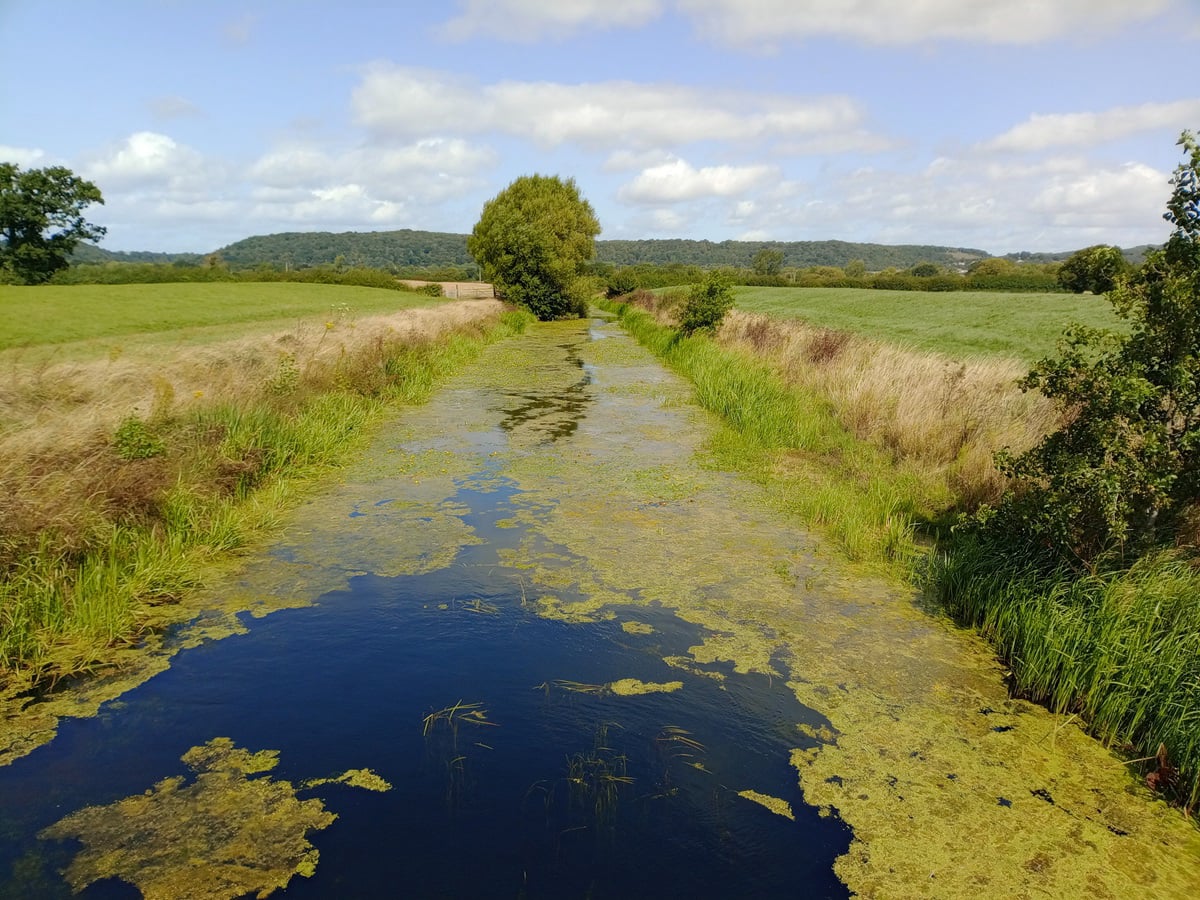
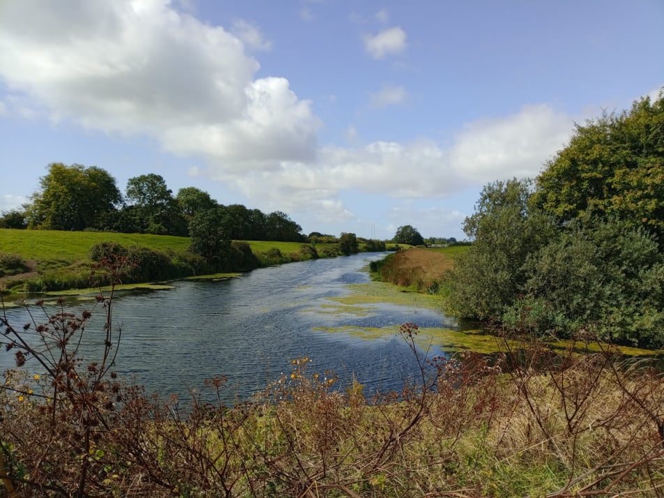
Meeting at the Scout Hall at the end of the Barn Car Park, we traversed the footpaths in the town before crossing the motorway junction and descending to the Craft Centre. A short walk up Court Lane brought us to our first path, the route of which was routed across two fields with a high crop of Maize. The alternative route around the fields was wide and easy to walk on, and took us to the Rhyne, which we crossed over by the sluice.
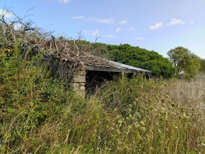
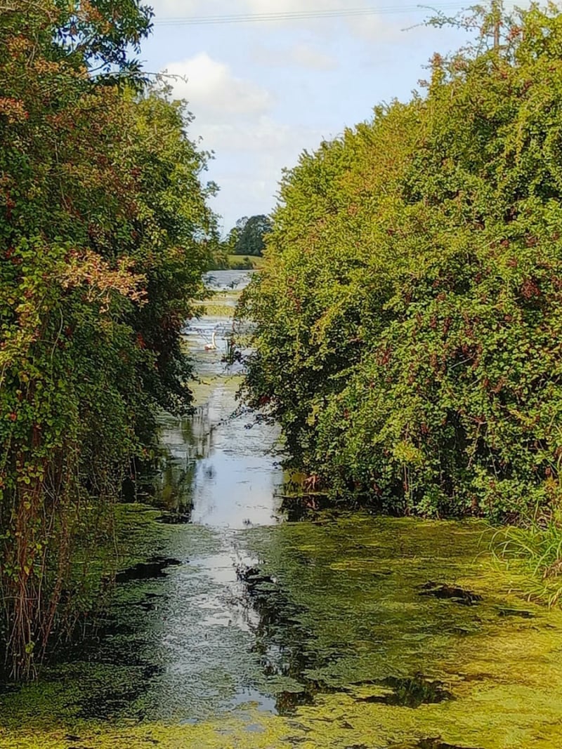
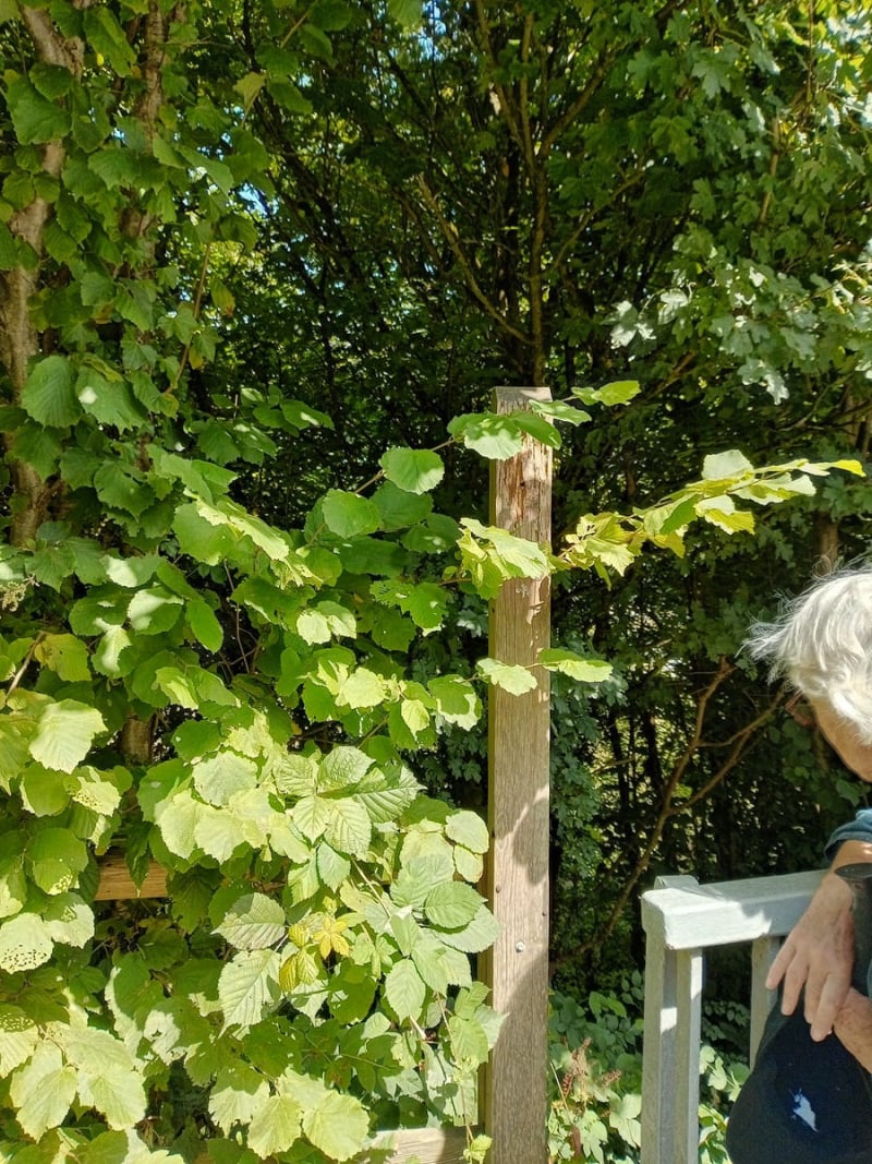
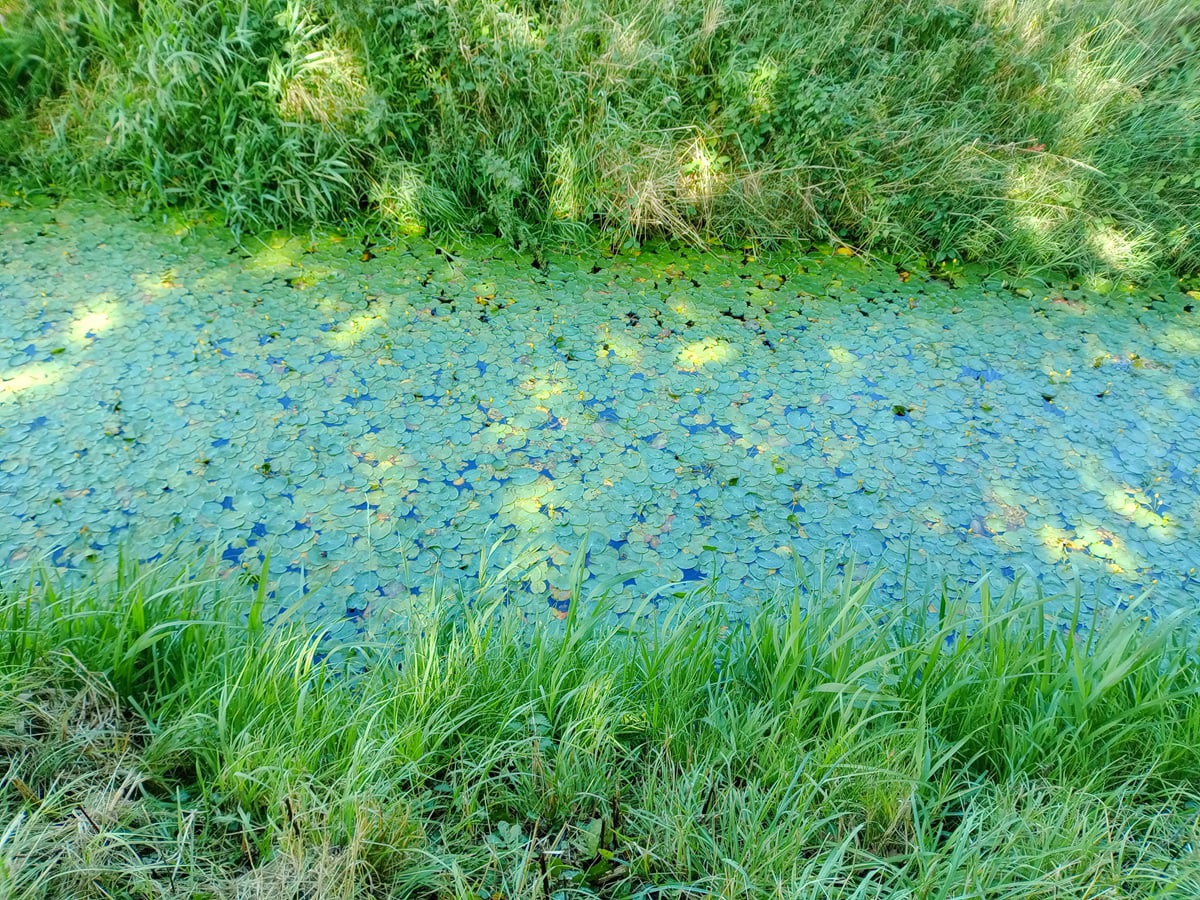
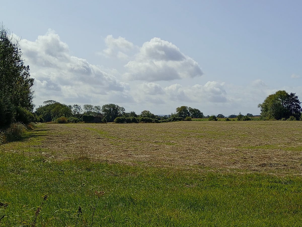
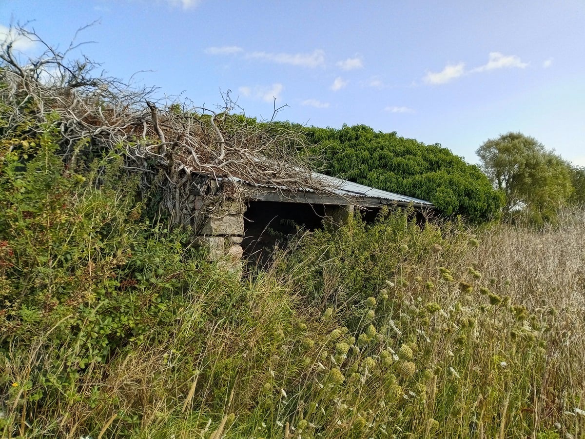
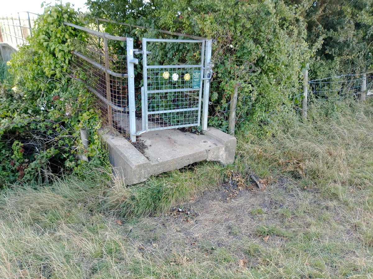
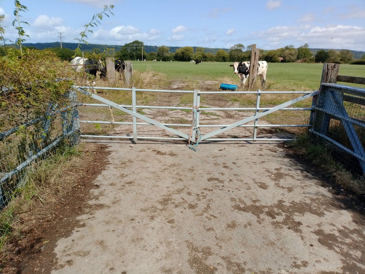
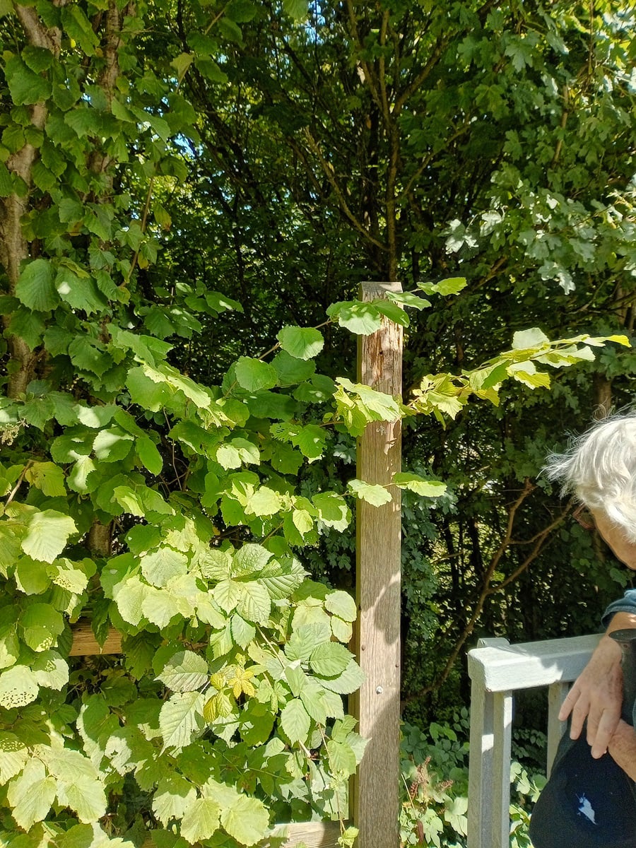
We walked east on an easy path to the Clevedon Boundary Rhyne and back, and then turned south on a path clearly marked on the Definitive Map, but was devoid of any signage. Crossing back over the Rhyne at Cooks Lane, we progressed south until another bridge back over the Rhyne took us to the Blind Yeo. The farm access bridge over the river was blocked by a very securely tied up gate, which we had to climb over. A stroll along Davis Lane took us to the motorway bridge, on the far side of which we noted a missing sign from a rotting post at the entrance to our last path, down through the woods and back across the Blind Yeo to the playing fields at Hazell Close.
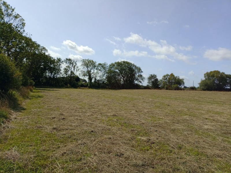
A wander though the paths back to the Scout Hut completed the walk and we retired to the Crab Apple for a well-earned and delicious two-course lunch.
Report and photos by Jeff Eastmond