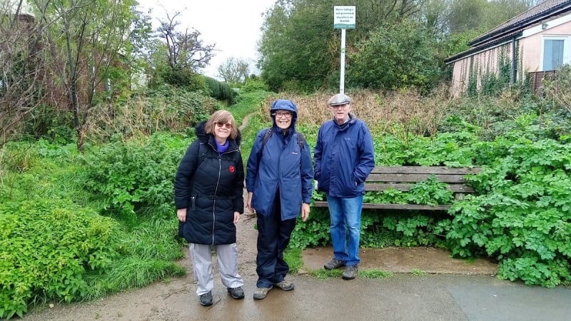
Wednesday 8 November 2023
Clevedon Survey Walk
This Survey Walk followed the route of Walk No.4 in the Survey Walk pack, starting from Highdale Avenue, by the Allotments behind the Fire Station.
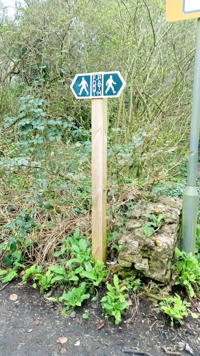
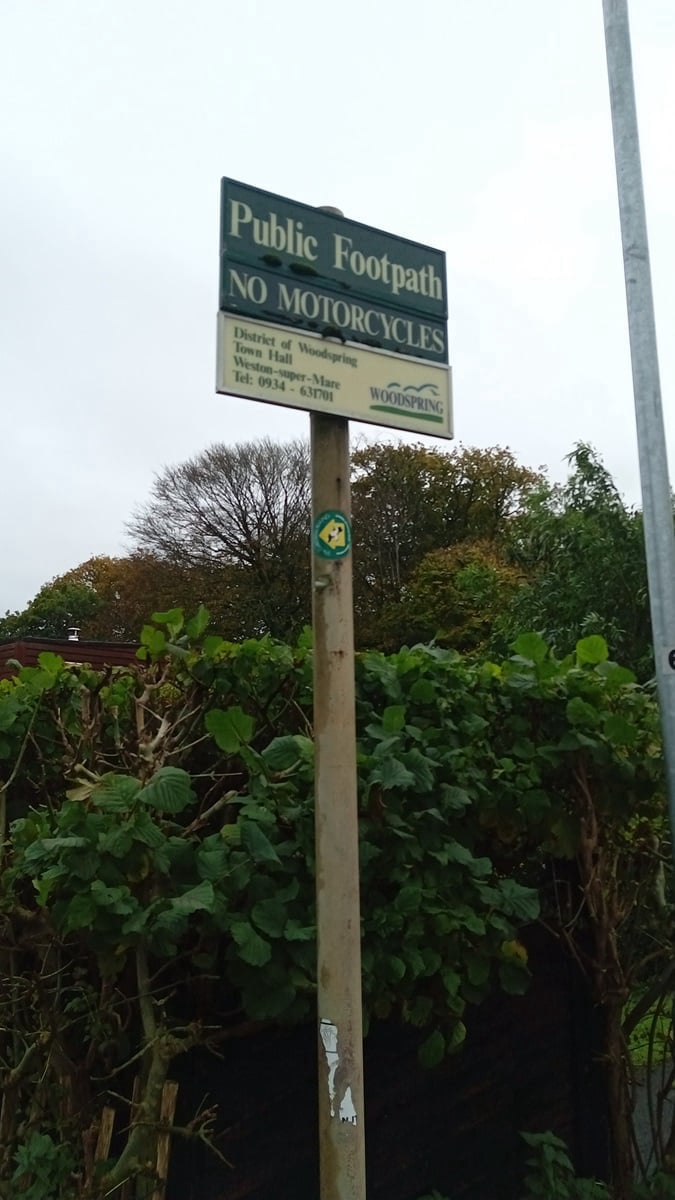
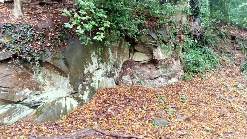
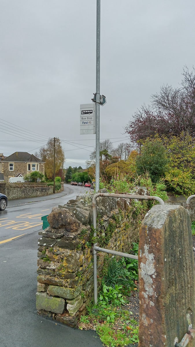
On a damp morning and in light rain which was forecast to clear up fairly quickly, the 4 walkers went up the access road to Highdale Farm before branching off right along the 'Cinder Path', ending up in Highdale Road next to St. Nicholas Chantry school. Crossing the road and taking note of the new footpath signs, the path through the woods up to Old Park Road was taken.
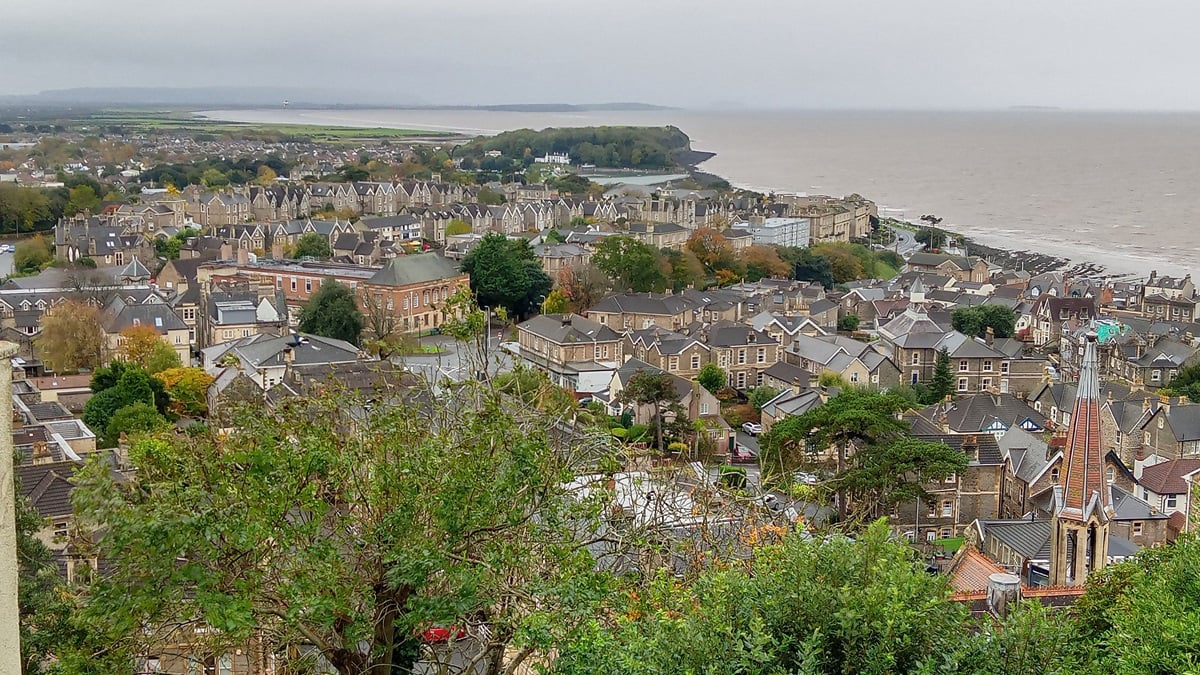
Walking along Thackeray and Dial Hill Roads, the views across the upper town and the Channel were admired before taking the path opposite the top of the Zig-Zag which goes around Dial Hill and onto the west end of Old Park Road.
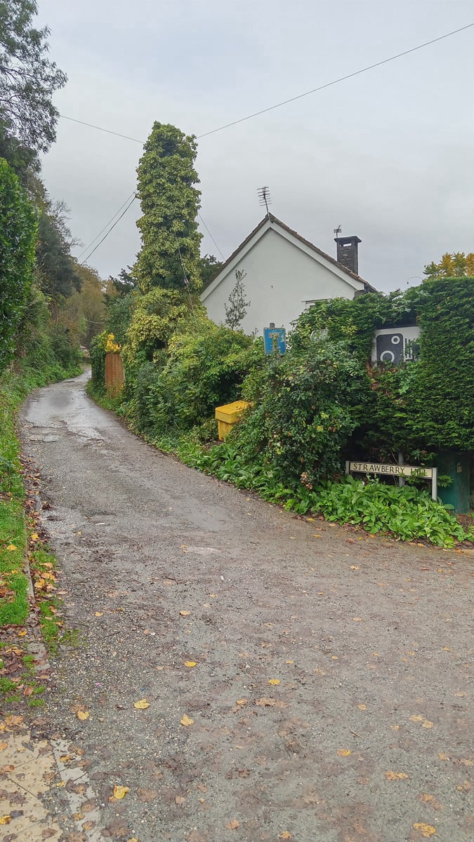
Taking the link path to Rippleside Road and then along to the top of Strawberry Hill we then descended to Walton Road, along Old Street and up the path next to the Town Council offices back to the starting point.
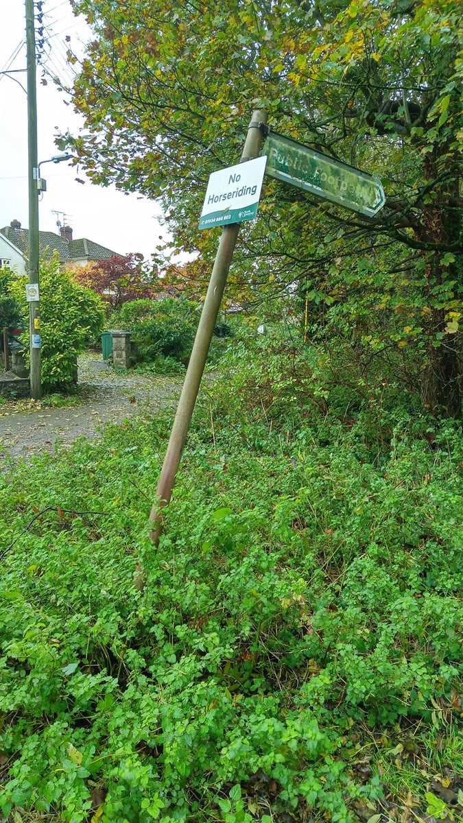
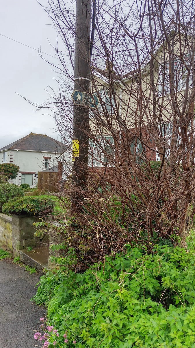
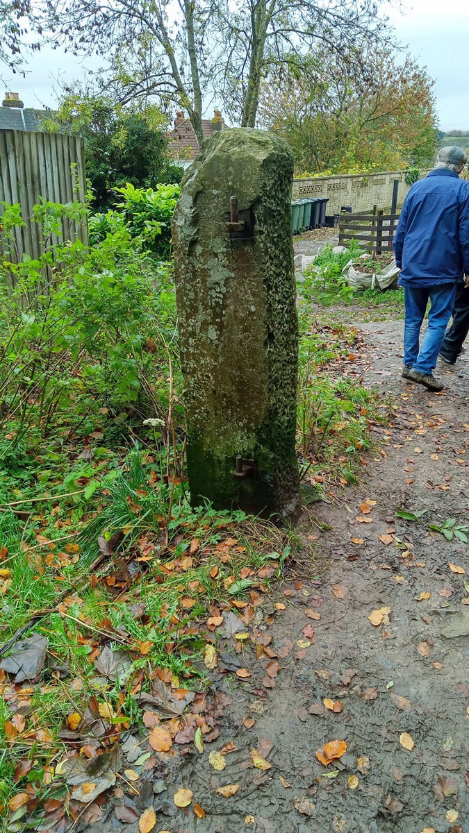
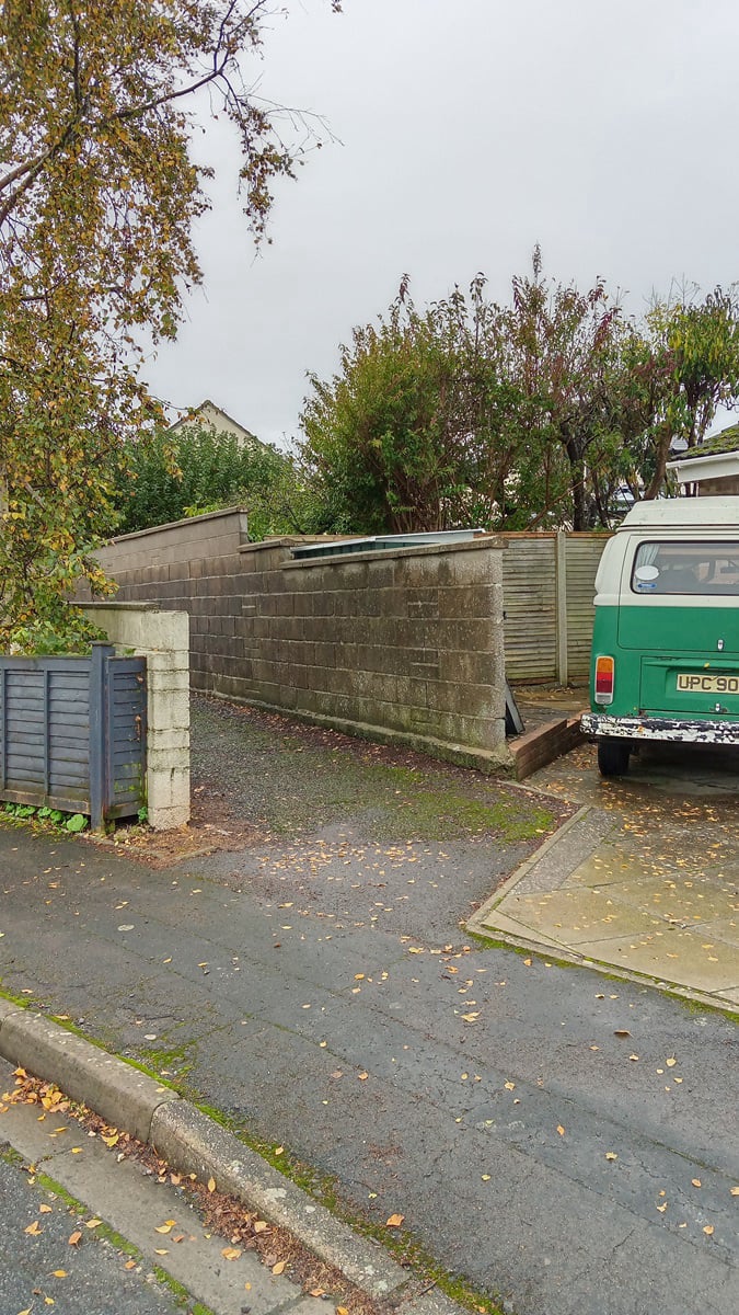
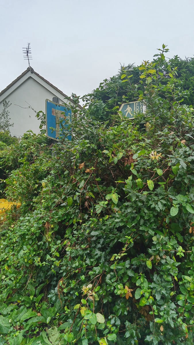
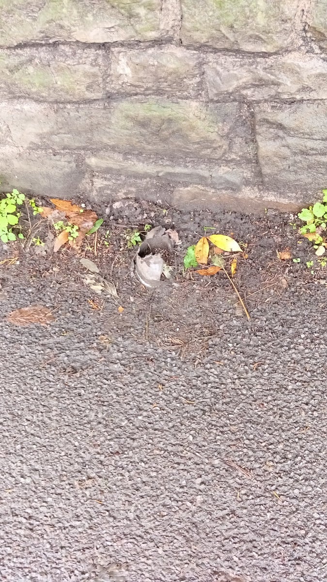
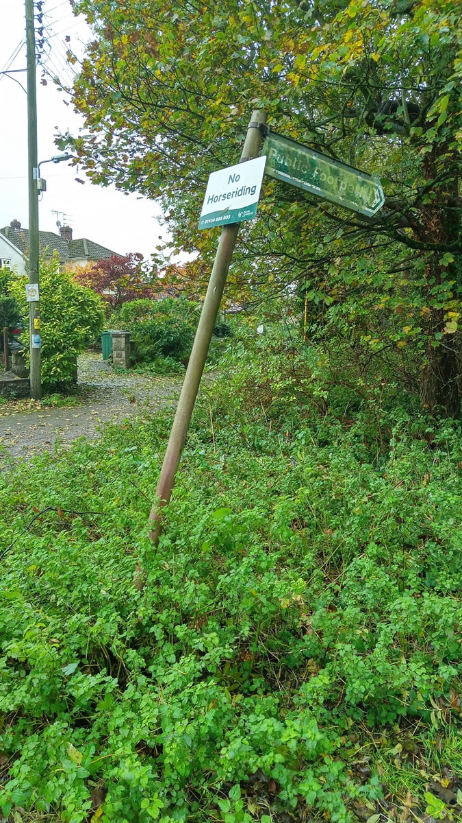
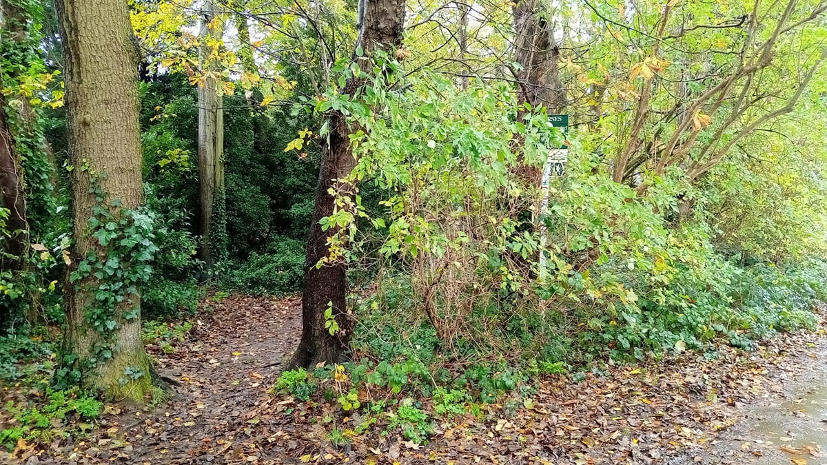
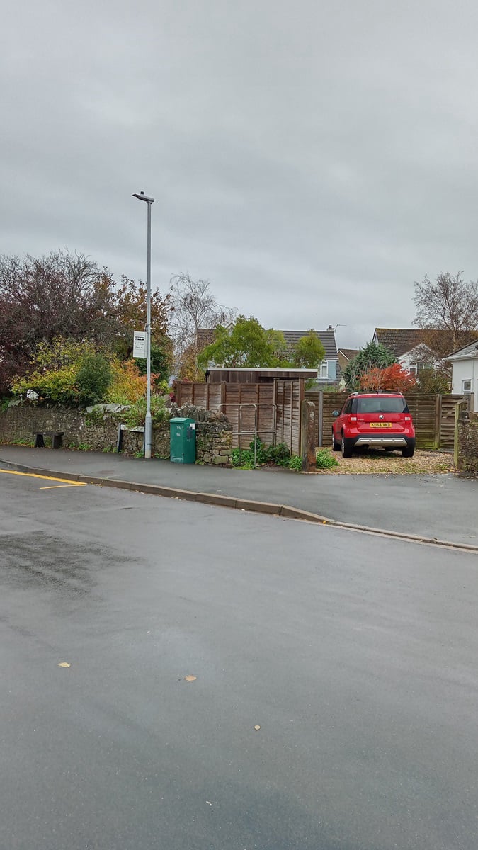
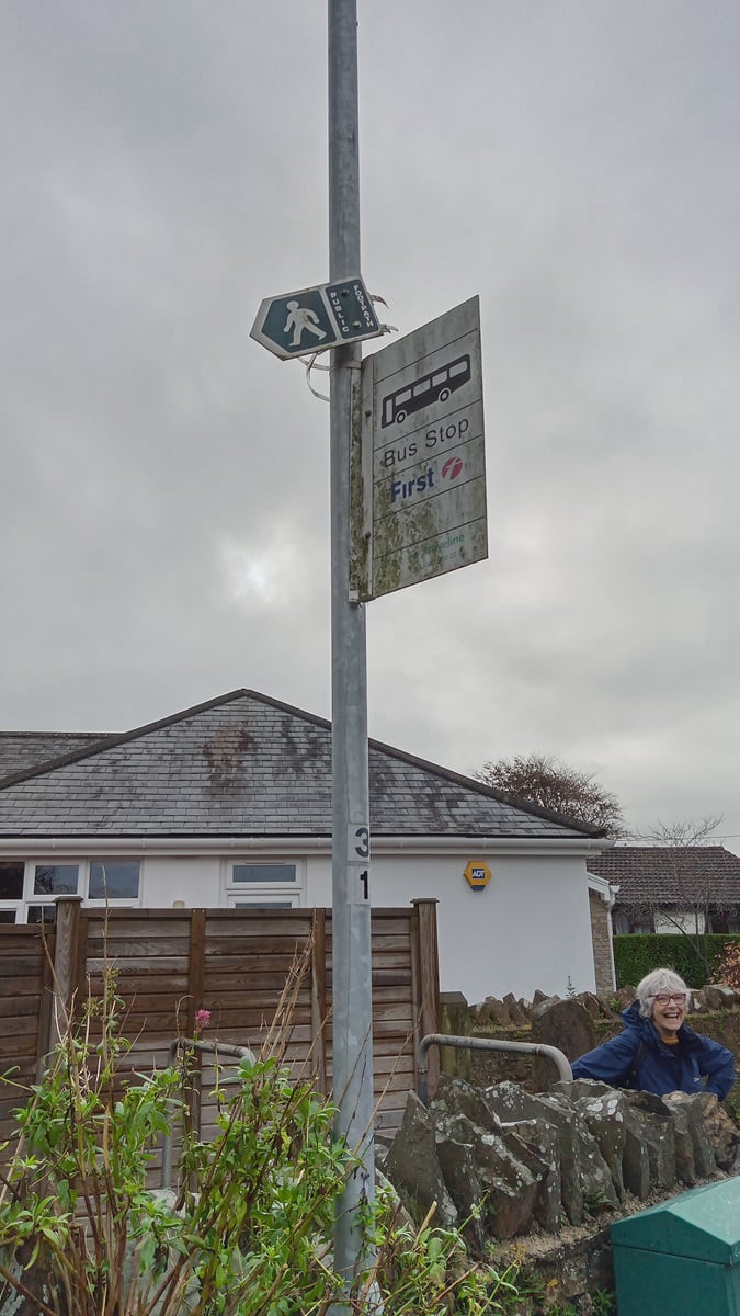
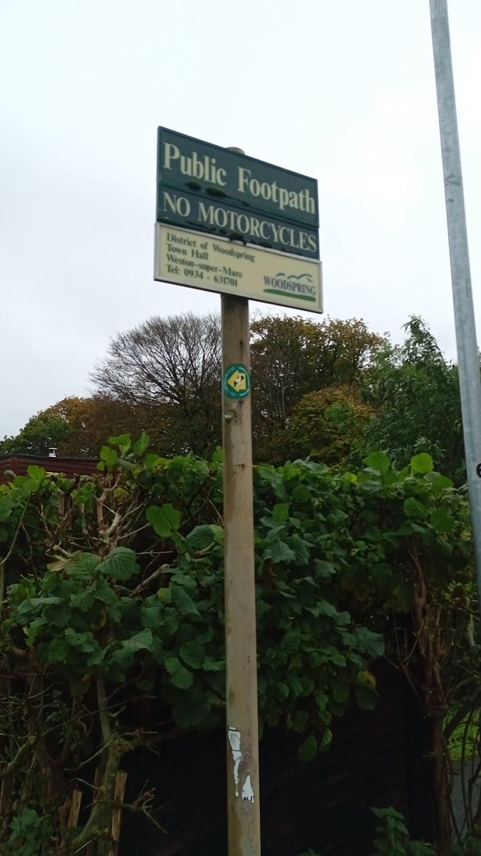
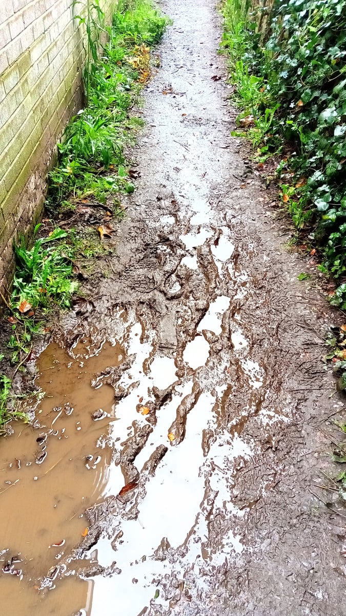
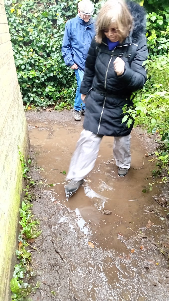
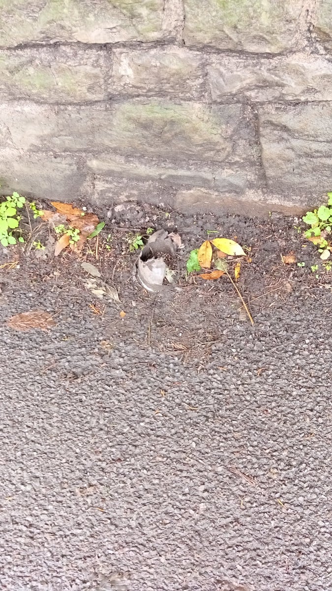
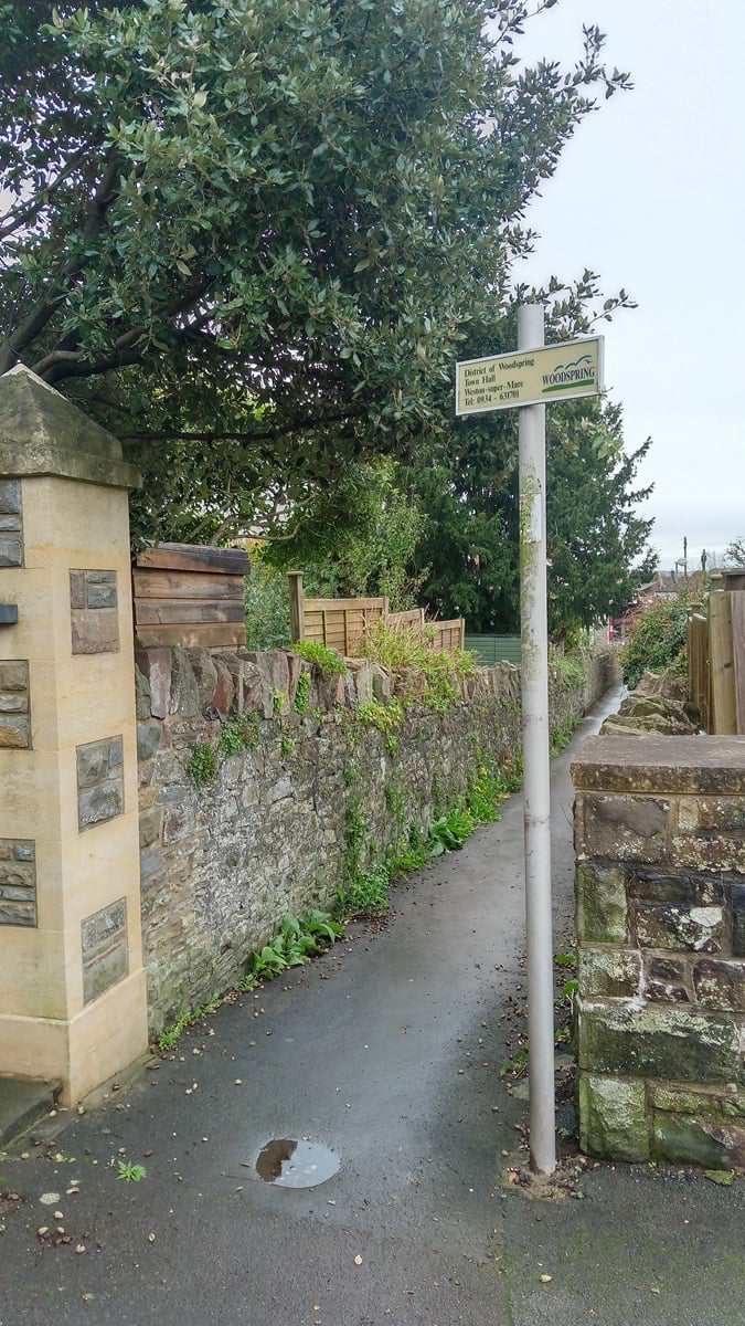
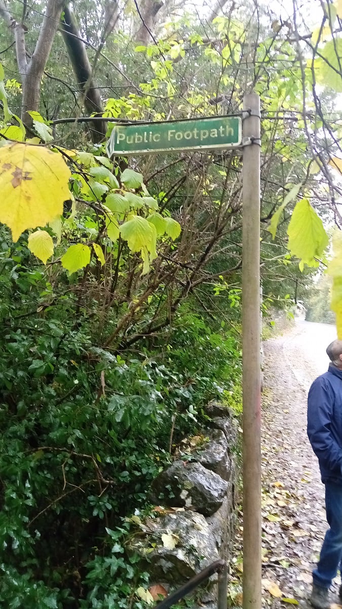
Along the way we noted various signs which were in poor condition, were liable to be obscured by foliage and an ongoing situation with a pool of water spanning the width of a poor condition path (see photo gallery). These have been reported to NSC, along with a trip hazard in the pavement opposite the Old Inn.
After a brisk and damp 2.9 mile walk, the walkers repaired to the Old Inn for lunch.
Report and photo by Jeff Eastmond