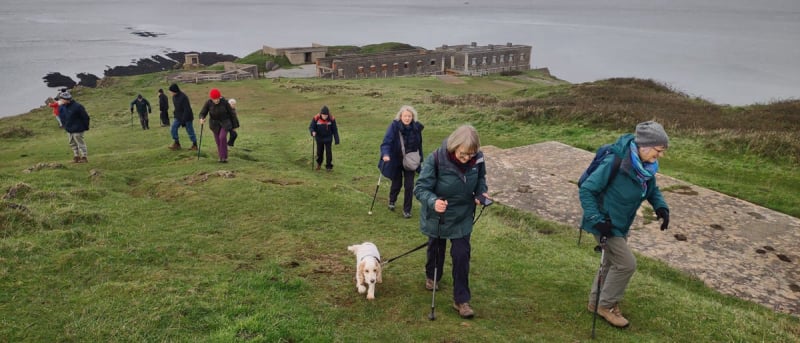
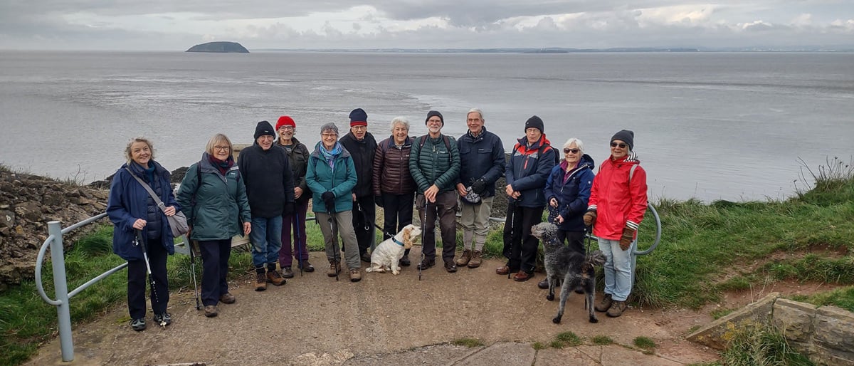
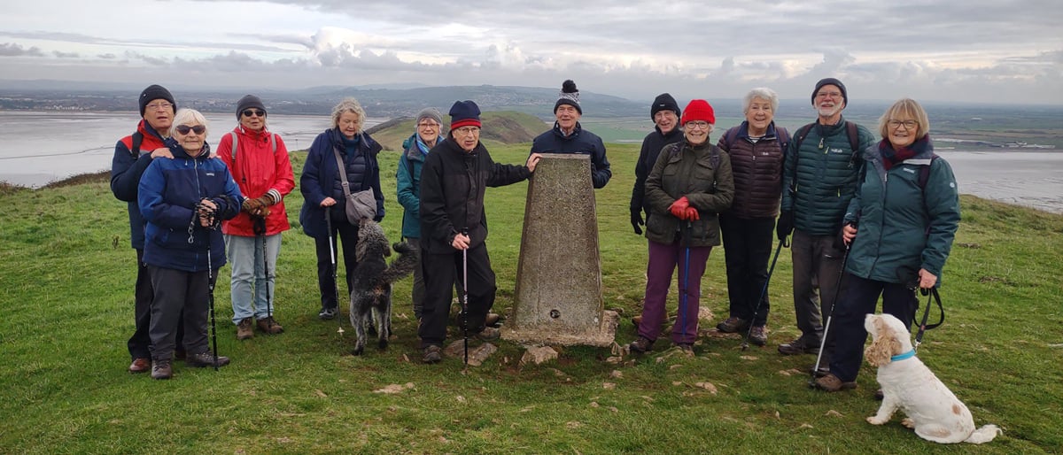
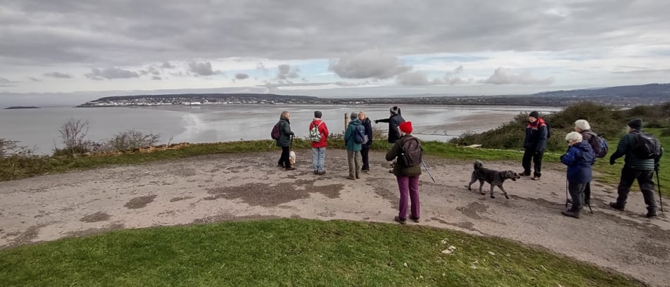
On a partly cloudy, cool day 13 of us drove to the National Trust car park at Brean Down. After coffee in the cafe, we started our walk up the tarmac path to Brean Down - a dramatic limestone peninsula jutting 1.5 miles out into the Bristol Channel. On reaching the top of the path we had glorious views to the north up the Bristol Channel with Weston Super Mare in the foreground. Just then we witnessed an unusual cloud formation over Avonmouth - researching this the group concluded these were Cumulonimbus clouds- otherwise known as The King of Clouds. They extended high into the sky and although usually associated with extreme weather no rain fell on us that day.
We walked along the tarmac path passing a group of cattle grazing wearing electronic collars.. These collars are part of a Virtual grazing technology allowing virtual fencing to be controlled via an app. If the cattle approach a virtual fence they hear a signal and feel a pulse if too close to the line.
On reaching the fort at the far end of the peninsula we explored the area enjoying far extending views to the Devon and South Wales coastlines. The fort is a Palmerston Fort built between 1864-1871t o protect the access to Cardiff and Bristol in fear of the growing strength of France under Napoleon III. No shots were ever fired in action. The fort was modified, re-armed and re-populated at the start of WW2 and used during the war for experimental weapons testing.
We then climbed up on to Brean Down standing 300 feet high and then walked along the upper path stopping at the trig point for a group photo. We returned to the carpark via the steeply descending tarmac path concluding a 3 mile walk. We then drove to the village of Bleadon for a welcome lunch at the Queens Arms.
Report by Julia Jordan
Photos by John Derrick and Carol Wood
HTML Maker